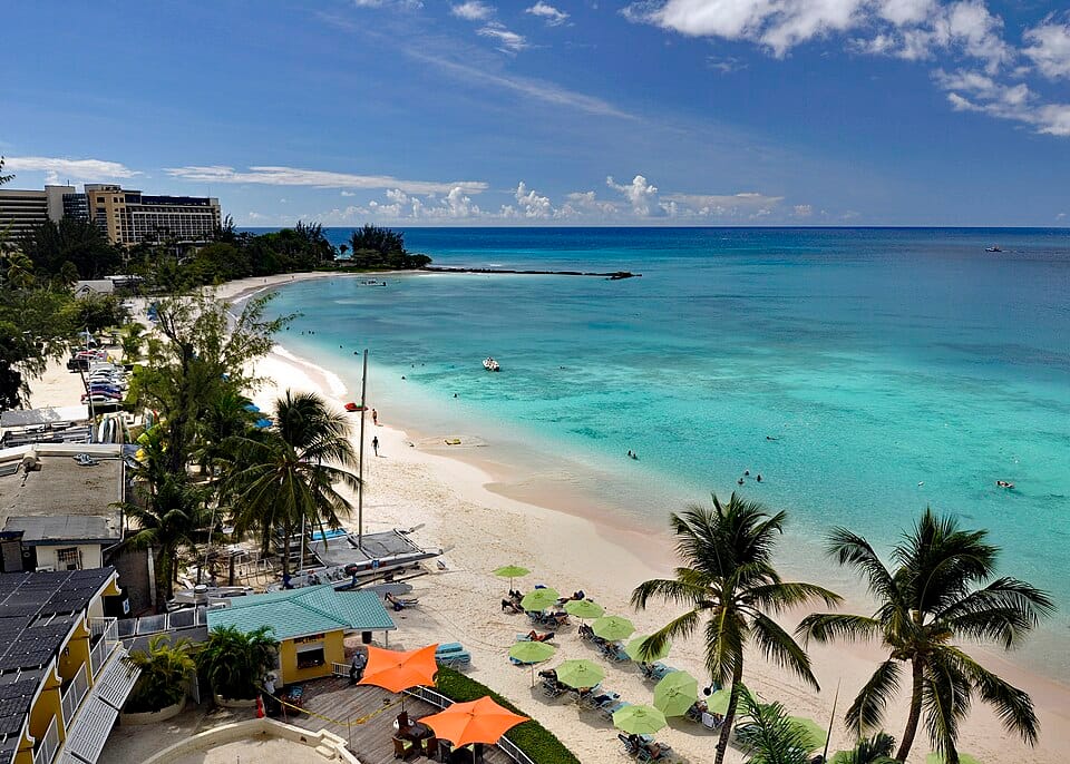
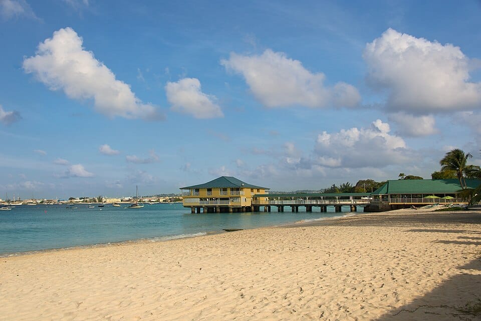
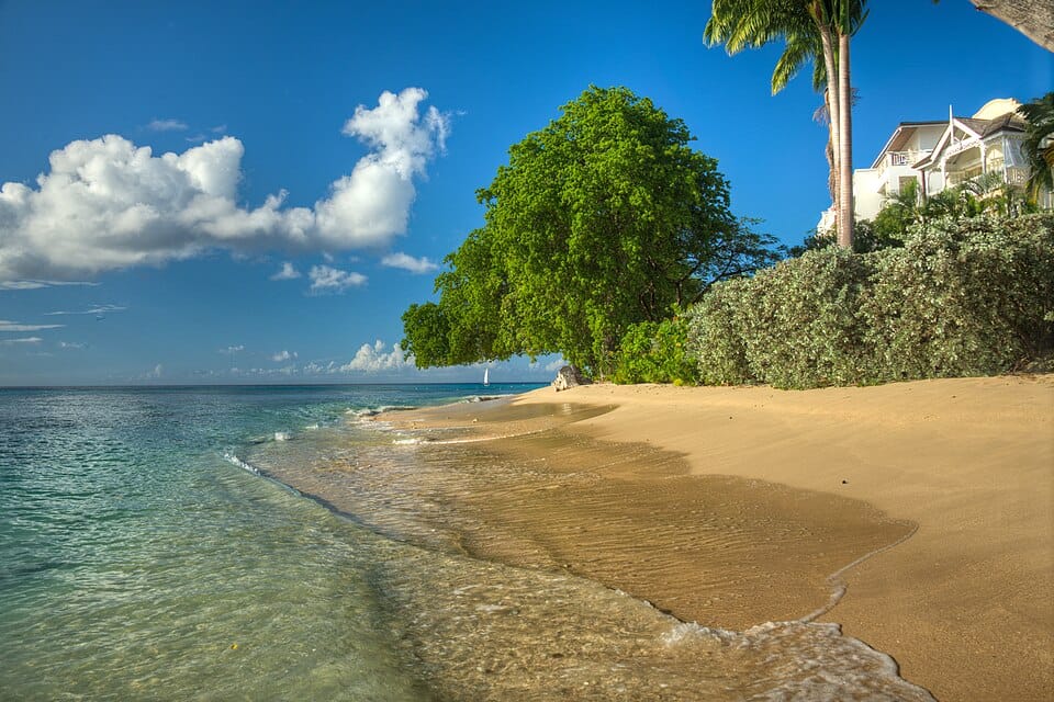
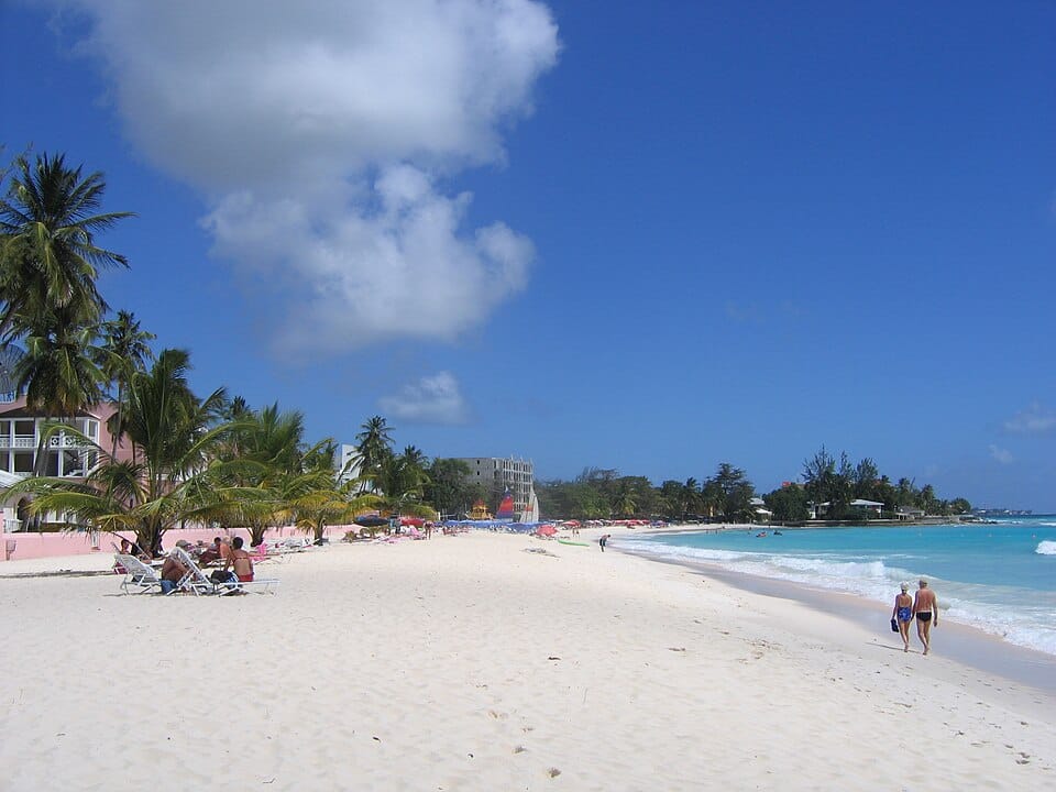
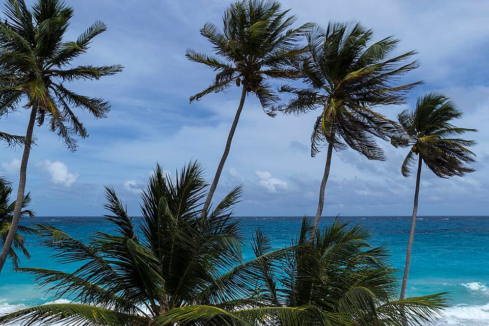
Beaches near the Barbados cruise port
Carlisle Bay and Pebbles Beach are closest; the south coast has Accra, Dover and Oistins; the Atlantic east coast is for watching, not swimming.
Beach report
Loading the forecast…
Closest
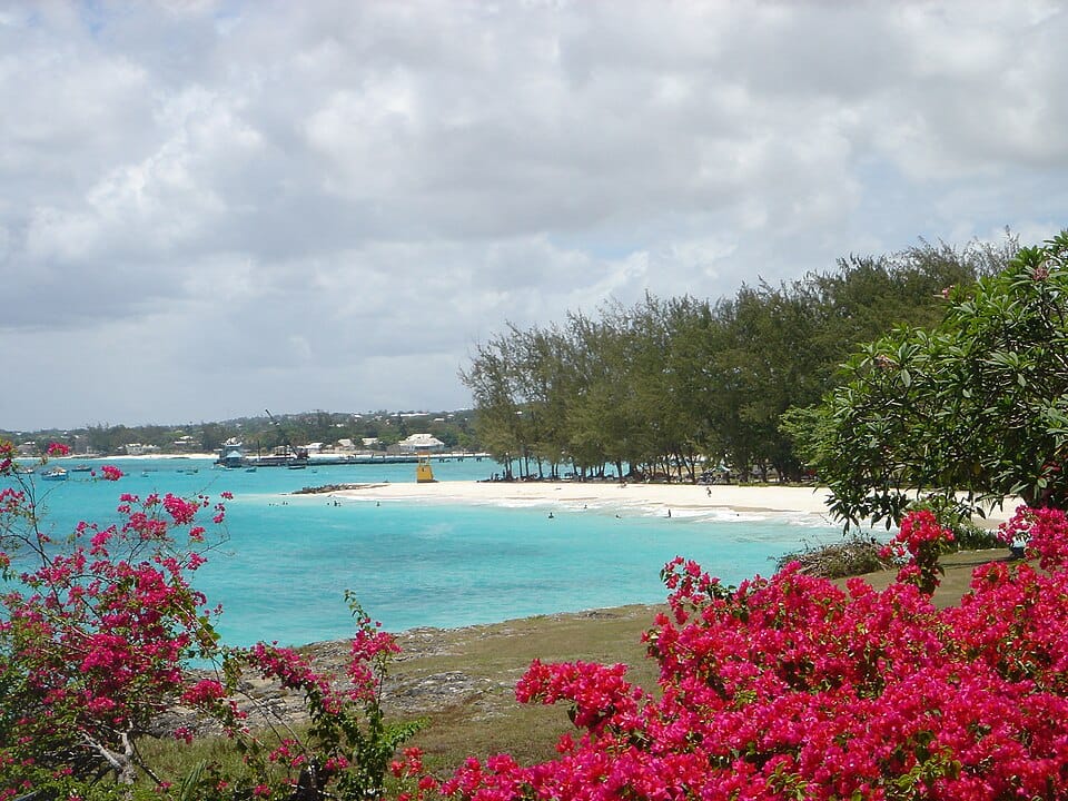
Carlisle Bay (Bayshore, Brownes and the Bay Street beaches)~15 min by taxi
Cheapest ride
Pebbles Beach and Needham's Pointabout $25 for two, return taxi
| Beach | Getting there from the cruise terminal | Price & access | Sea | Crowd | Sargassum |
|---|---|---|---|---|---|
| Carlisle Bay (Bayshore, Brownes and the Bay Street beaches) South-west, Bridgetown's own bay (Bay Street) | ~15 min taxi · 2.2 km Taxi $10.5–14.5 for up to 4 | Free | Faces SW | — | Low sheltered side |
| Pebbles Beach and Needham's Point South-west, Needham's Point (beside the Hilton and Radisson Aquatica) | ~17 min taxi · 2.9 km Taxi $12.5 for up to 4 governmentprintery.gov.bb, 2023-01-07 | Free | Faces SW | — | Low sheltered side |
| Accra Beach (Rockley) South coast, Rockley (Christ Church) | ~23 min taxi · 5.3 km Taxi $17–21.5 for up to 4 | Free | Faces S | — | Low sheltered side |
| Paynes Bay (west coast) West coast (St. James), the 'Platinum Coast' | ~27 min taxi · 6.6 km Taxi $17–21.5 for up to 4 | Free | Faces W | — | Low sheltered side |
| Dover Beach and St. Lawrence Gap South coast, Dover (Christ Church) | ~29 min taxi · 7.4 km Taxi $20 for up to 4 governmentprintery.gov.bb, 2023-01-07 | Free | Faces S | — | Low sheltered side |
| Oistins Bay and Enterprise (Miami) Beach South coast, Oistins (Christ Church) | ~36 min taxi · 10.5 km Taxi $26.5 for up to 4 governmentprintery.gov.bb, 2023-01-07 | Free | Faces SW | — | Low sheltered side |
| Silver Sands South tip (Christ Church) | ~42 min taxi · 13.0 km Taxi $34.5 for up to 4 governmentprintery.gov.bb, 2023-01-07 | Free | Faces S | — | Some side-on to the trades |
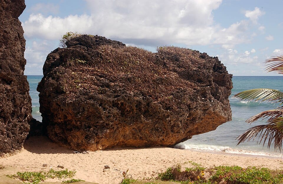
| Bathsheba (Soup Bowl) East coast (St. Joseph) | ~52 min taxi · 16.9 km Taxi $42.5 for up to 4 governmentprintery.gov.bb, 2023-01-07 | Free | Faces NE | — | Some side-on to the trades |
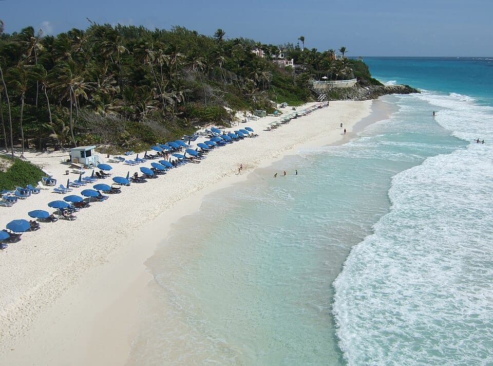
| The Crane (Crane Beach) South-east coast (St. Philip) | ~60 min taxi · 20.2 km Taxi $47.5 for up to 4 governmentprintery.gov.bb, 2023-01-07 | Free | Faces SE | — | Higher faces the trade winds |
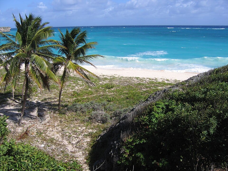
| Bottom Bay South-east coast (St. Philip) | ~66 min taxi · 22.3 km Taxi $43.5–64 for up to 4 | Free | Faces E | — | Higher faces the trade winds |
Carlisle Bay (Bayshore, Brownes and the Bay Street beaches)
South-west, Bridgetown's own bay (Bay Street)
Getting there from the cruise terminal
~15 min taxi · 2.2 kmTaxi $10.5–14.5 for up to 4
Price
FreeSea
Faces SWCrowd
—Sargassum
Lowsheltered side
Pebbles Beach and Needham's Point
South-west, Needham's Point (beside the Hilton and Radisson Aquatica)
Getting there from the cruise terminal
~17 min taxi · 2.9 kmTaxi $12.5 for up to 4 governmentprintery.gov.bb, 2023-01-07
Price
FreeSea
Faces SWCrowd
—Sargassum
Lowsheltered side
Accra Beach (Rockley)
South coast, Rockley (Christ Church)
Getting there from the cruise terminal
~23 min taxi · 5.3 kmTaxi $17–21.5 for up to 4
Price
FreeSea
Faces SCrowd
—Sargassum
Lowsheltered side
Paynes Bay (west coast)
West coast (St. James), the 'Platinum Coast'
Getting there from the cruise terminal
~27 min taxi · 6.6 kmTaxi $17–21.5 for up to 4
Price
FreeSea
Faces WCrowd
—Sargassum
Lowsheltered side
Dover Beach and St. Lawrence Gap
South coast, Dover (Christ Church)
Getting there from the cruise terminal
~29 min taxi · 7.4 kmTaxi $20 for up to 4 governmentprintery.gov.bb, 2023-01-07
Price
FreeSea
Faces SCrowd
—Sargassum
Lowsheltered side
Estimates. Sea, crowd and sargassum are our estimates, not observations: shore direction from the coastline, crowds from the ship-schedule model, sargassum from the shore's exposure. Sargassum outlook: Sargassum fell in almost every region in September and should keep falling until about November; beaching continues around the Caribbean, less than in summer. The eastern Caribbean's amount fell sharply. USF Optical Oceanography Lab, Sargassum outlook (bulletin 09), 2026-09-30.