Bottom Bay
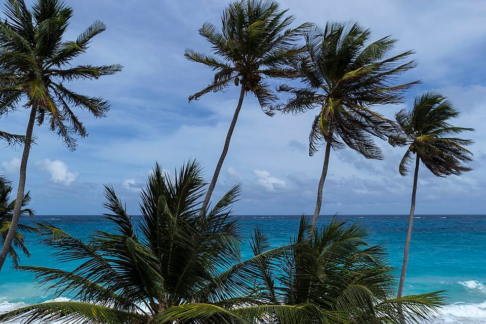
A small, wild east-coast bay. It is not on the NCC lifeguard list, and barbados.org's page says nothing about it, so no lifeguard is confirmed. About 25 km by road from the terminal (our estimate): a half-day for a ship day.
Your day here
Getting there
- Taxi from the taxi stand at the port: agree the fare first.
Public access and fees not found on an official page.
The water
Atlantic-side bay. Not on the lifeguard list we read; the FCDO says swimming is not recommended on many east-coast beaches where currents are strong. Seaweed: floating sargassum has reached Barbados's beaches every year since 2011 (Minister of the Environment, 29 May 2026), and a CBC report (15 July 2025) found it 'in abundance along the island's beaches, particularly affecting the east'; it comes and goes (Commons photographs show Crane Beach covered in May 2018 and clear in December 2018). No current report for this beach was reachable on 2026-11-01. Live sea state: the Barbados Meteorological Services marine forecast (barbadosweather.org); NOAA's daily Sargassum Inundation Risk map (status 30 Oct 2026) is a map only.
Safety
- No lifeguard on the NCC list: this is a place to look, not to swim.
Bottom Bay: questions
Can you walk to Bottom Bay from the Barbados cruise port?
It is 22.3 km away from the cruise terminal: take a taxi.
Is Bottom Bay free?
Yes, it is a public beach. Chairs, umbrellas and drinks cost extra where they are offered.
Is Bottom Bay good for swimming?
Atlantic-side bay. Not on the lifeguard list we read; the FCDO says swimming is not recommended on many east-coast beaches where currents are strong. Seaweed: floating sargassum has reached Barbados's beaches every year since 2011 (Minister of the Environment, 29 May 2026), and a CBC report (15 July 2025) found it 'in abundance along the island's beaches, particularly affecting the east'; it comes and goes (Commons photographs show Crane Beach covered in May 2018 and clear in December 2018). No current report for this beach was reachable on 2026-11-01. Live sea state: the Barbados Meteorological Services marine forecast (barbadosweather.org); NOAA's daily Sargassum Inundation Risk map (status 30 Oct 2026) is a map only.