Closest first. Walking times are from the port exit; hours and fees are the venue's own where they publish them.
museum · Puerto Costa Maya complex
Maya museum in the port (Museo Maya)
A small museum in the port's shopping complex. CruiseMapper (captured 2026-10-31) calls it the Jade Maya Museum; its hours and admission are not published anywhere we could open.
0 min walk · 60 m
Opening not confirmed for 2026: check before you go.
landmark · North of Mahahual, between the port and the town
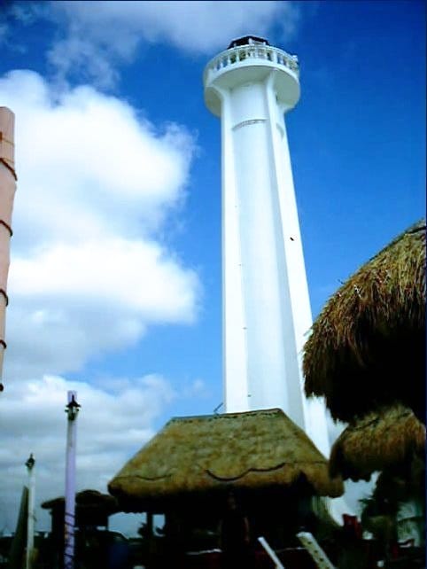
Mahahual lighthouse (Faro de Mahahual)
The white lighthouse that marks the north end of the town, a good landmark to aim for and the point where the beach clubs begin. Whether it can be visited is not published.
25 min walk · 1.9 km
Opening not confirmed for 2026: check before you go.
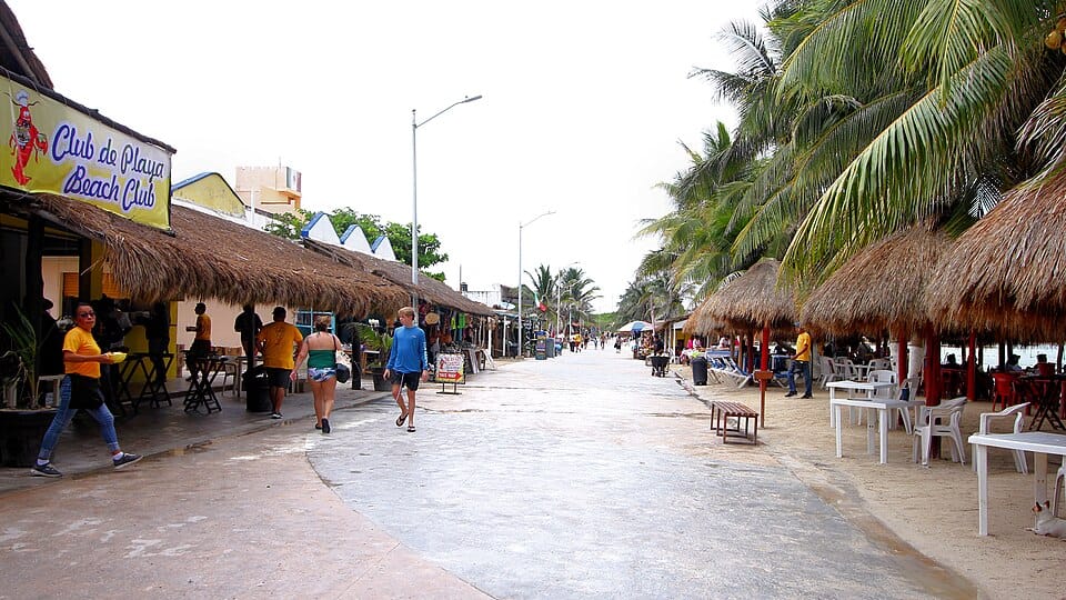
The town's car-free seafront walkway: bars, beach clubs, dive shops and the little jetties, with the Caribbean on one side and a short taxi ride back to the port on the other.
2.4 km · taxi
Bring small bills for taxis and vendors.
Seaweed can pile up on this stretch; look at the sand before choosing where to sit.
ruins · Inland, about 64 km north-west of the port
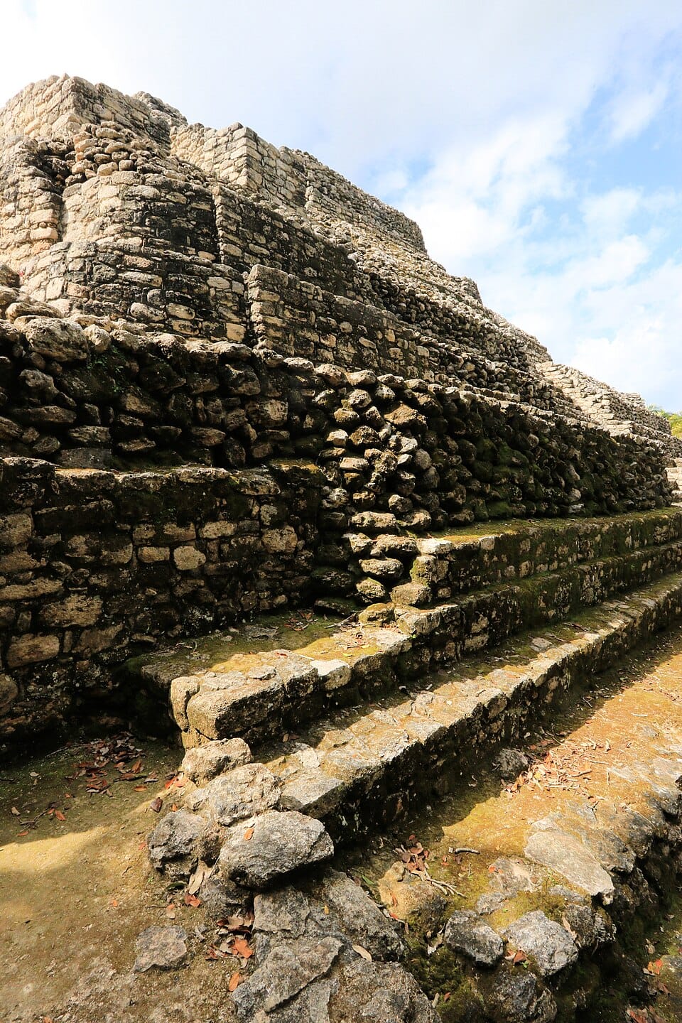
Chacchoben Maya ruins
A Maya archaeological zone inland (Federal Highway 293, km 9), the closest big ruin to the port and the most common ship excursion (The Points Guy). About 50 minutes each way by road; Carnival's tour describes a fair amount of climbing and walking over uneven ground.
63.8 km · taxiMon–Sun 9:00 AM–3:00 PMMXN 155 (foreign visitors; MXN 85 Mexican visitors)allow ~120 min
Bring water, sunscreen and bug spray (The Points Guy, 2026-09-28).
Photo: Norberto_Fotografía_Negrete, CC BY-SA 3.0 · Wikimedia Commons
ruins · Inland, about 121 km west of the port
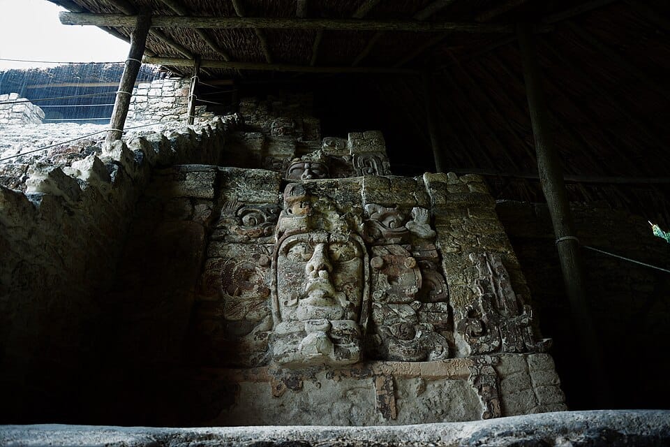
Kohunlich Maya ruins
A Maya archaeological zone inland, with the Temple of the Masks (Templo de los Mascarones, osm:way/336124252). Roughly two hours each way, so a trip for a long port day.